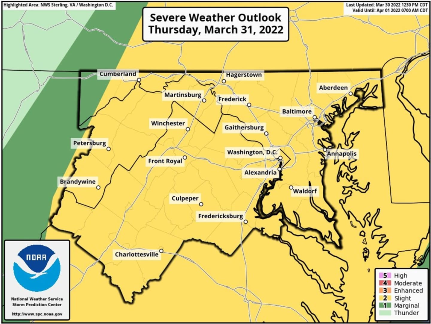
The National Weather Service (NWS) placed Maryland under a slight risk for severe thunderstorms starting at 5:30 a.m. on Thursday, March 31.
Scattered severe thunderstorms could occur throughout the afternoon and evening, NWS said. A wind advisory is also in effect until 8 p.m. Thursday. The NWS said gusts could get as high as 50 miles per hour.
While wind is the major concern, hail and tornadoes are also possible. Heavy rain could conceal the tornadoes if they occur.
"Downpours and stiff but non-damaging winds will be most common from the storms," AccuWeather said. "However, the combination of these two conditions can make for very poor visibility for motorists traveling at highway speeds. Flooding on streets and highways can also be a concern."
A Gale Warning is also in effect for the Chesapeake Bay through Thursday evening, NWS said. Temperatures will be in the low-to-high 60s which will help support the severe thunderstorms, according to AccuWeather.
Click here to follow Daily Voice Baltimore and receive free news updates.