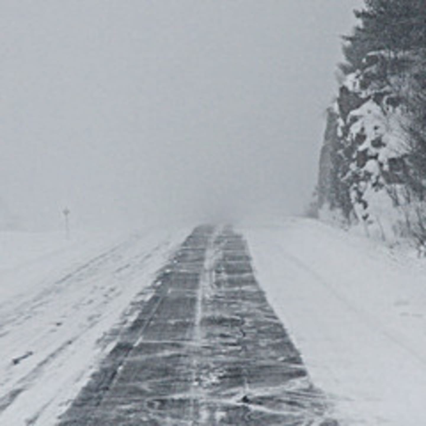
Scattered snow showers are expected Tuesday afternoon into the early evening, with a few snow squalls producing brief whiteout conditions accompanied by heavy snow and strong winds, the Weather Service said. Snow squalls could arrive as early as 2 p.m., but are more likely later in the afternoon through about 8 p.m. Flash freeze conditions are possible as a result of the snow squalls. Road conditions could be poor, with slippery spots and low visibility.
The Hazardous Weather Outlook statement for Southern Connecticut also covers Westchester, New York City, Southeast New York and Northeast New Jersey.
Tuesday's high temperature is expected to be 32 degrees with temperatures falling into the 20s for the final hours of 2013.
New Year's Day will be mostly cloudy with a high of about 30 degrees. But significant snowfall is expected from late Wednesday night into Friday morning, with at least 6 inches of snow possible, according to the weather service. Strong winds are expected to cause blowing and drifting conditions.
Snow is expected to end Friday morning with bitterly cold temperatures of about 15 degrees and wind chills as low as 5 to 15 degrees below zero.
The outlook for Saturday calls for mostly cloud skies with highs of about 25 degrees.
Click here to follow Daily Voice Fairfield and receive free news updates.