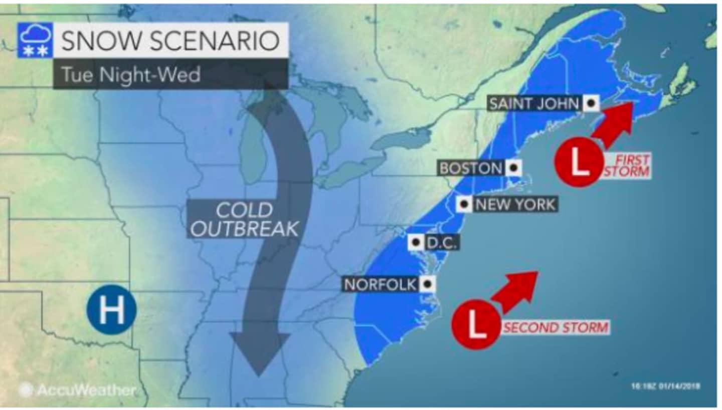
The Alberta Clipper storm system is now expected to arrive a bit later than earlier predicted, with the snowfall possibility beginning after 9 a.m. Tuesday on a cloudy day with a high in the low 30s.
Light snow is likely Tuesday night, with the snowfall falling mainly before 4 a.m. Wednesday, the National Weather Services says.
The snow chance continues through 11 a.m. Wednesday, on a cloudy day with a high around freezing.
Sunny skies return Thursday with a high again around freezing.
An Alberta Clipper is a low-pressure system characterized by snow squalls that sweeps southeast out of the Canadian province of Alberta. Because it is fast-moving, snow accumulation totals from clippers tend to be relatively low, usually between 1 and 3 inches.
Check back to Daily Voice for updates.
Click here to follow Daily Voice Fairfield and receive free news updates.